Search
Close this search box.

Bike riding and walking in Devonport

Devonport bike riding and walking tracks

Devonport has many bike riding and walking tracks that are maintained by the Devonport City Council and other non-for-profit organisations.

Below is a list of the many walks, bike tracks and bike parking locations, plus Council’s Bike Riding Strategy. 

The map also shows the locations of these bike riding tracks available in the Devonport community.

Bike riding in Devonport

Devonport City Council is committed to making bike riding more accessible and safer for everyone. We do this through maintaining a network of bike lanes and paths, community education and promotion.

Bike racks are available in a number of key locations throughout the City, including:

  • Rooke Street Mall, Devonport
  • Near Bus Interchange, Rooke Street, Devonport
  • Near Formby Hotel, Rooke Street, Devonport
  • Near Verona, Rooke Street, Devonport
  • Near Reading Cinemas, Devonport
  • 92 Formby Road, Devonport
  • Near Australia Post, Stewart Street, Devonport
  • William Street, Fourways
  • Mersey Bluff Reserve
  • Market Square and paranaple centre

A free to use bike repair station in Market Square is provided by Devonport City Council thanks to grant funding from Healthy Tasmania.

The Bike Repair Station is a great way for cyclists to keep their bikes in good condition and to also help reduce pollution in the city.

Bicycle Network Tasmania have created an instructional video and information sheet explaining how to use the free tools available.

2022 Devon...

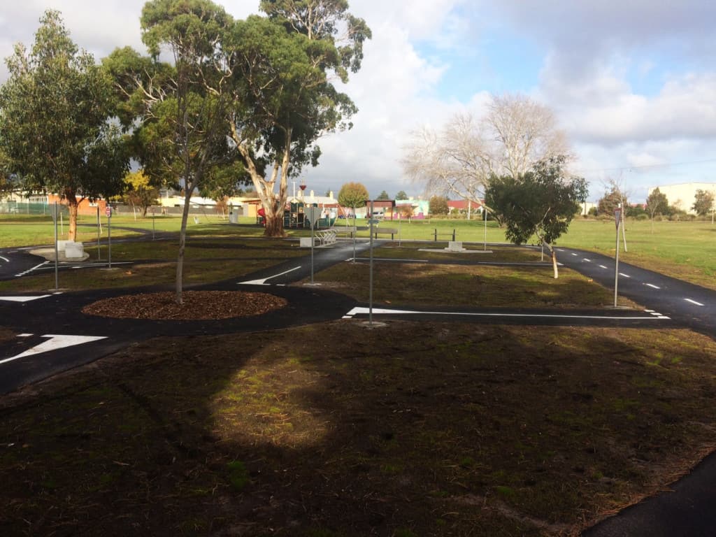
A Road Safety Bike Park is located in Pioneer Park, East Devonport, which is a safe & fun environment in which children can ride their bike and learn the road rules and conditions they will encounter whilst using their bicycles on the road network.

East Devonport Safety Bike Park 3 v2

Bike Riding Strategy 2015 Future Network Map 1 scaled

Download Strategy:

Bike Riding Strategy 2015-2020

Walking in Devonport

View a list of recommended walking tracks in Devonport 

Between Don River Railway entrance and the Aquatic Centre car park.

Distance:1.5km
Walk Time:25 Minutes

Between Aquatic Centre car park and Coles Beach

Distance:2.1 km
Walk Time:35 Minutes

Gravel/sawdust path between Splash Aquatic Centre & Don College

Distance:1.3 km
Walk Time: 22 Minutes


Between the Don River Railway entrance and Splash Aquatic Centre


Distance:1.6 km
Walk Time:27 Minutes

Between Don College Oval and Coles Beach Road

Distance:0.7 km
Walk Time:12 Minutes

Between Coles Beach and William Street

Distance:1.4 km
Walk Time:23 Minutes

Mersey Bluff Headland area west of Tiagarra

Distance:0.4 km
Walk Time:7 Minutes

Between the Surf Life Saving Club and Lighthouse

Distance:0.6 km
Walk Time:11 Minutes

Between William Street and Mersey River Breakwater car park

Distance:1.1 km
Walk Time:18 Minutes

Path to viewing platform

Distance:0.1 km
Walk Time:2 Minutes

Between Mersey River Breakwater car park and Oldaker Street

Distance:1.2 km
Walk Time:20 Minutes

Between Victoria Parade and Mersey River pontoon

Distance:0.6 km
Walk Time:9 Minutes

Between Oldaker Street and Stewart Street

Distance:0.5 km
Walk Time:8 Minutes

Between Thomas Street and Tea Tree Lane

Distance:2.8 km
Walk Time:47 Minutes

Between Tea Tree Lane and Pardoe Point

Distance:3.4 km
Walk Time:56 Minutes

The Devonport City Council Pedestrian Strategy was designed to make walking in Devonport safe and convenient and to enable
and encourage walking as a mode of transport.

Pedestrian-Strategy-2016-2021